Wild cats and their prey need well-trained patrols to effectively protect them from poachers and other threats. Developed by a consortium of NGOs, SMART (Spatial Monitoring and Reporting Tool) is an accessible computer-based platform used to measure, evaluate and improve the effectiveness of wildlife law enforcement patrols.
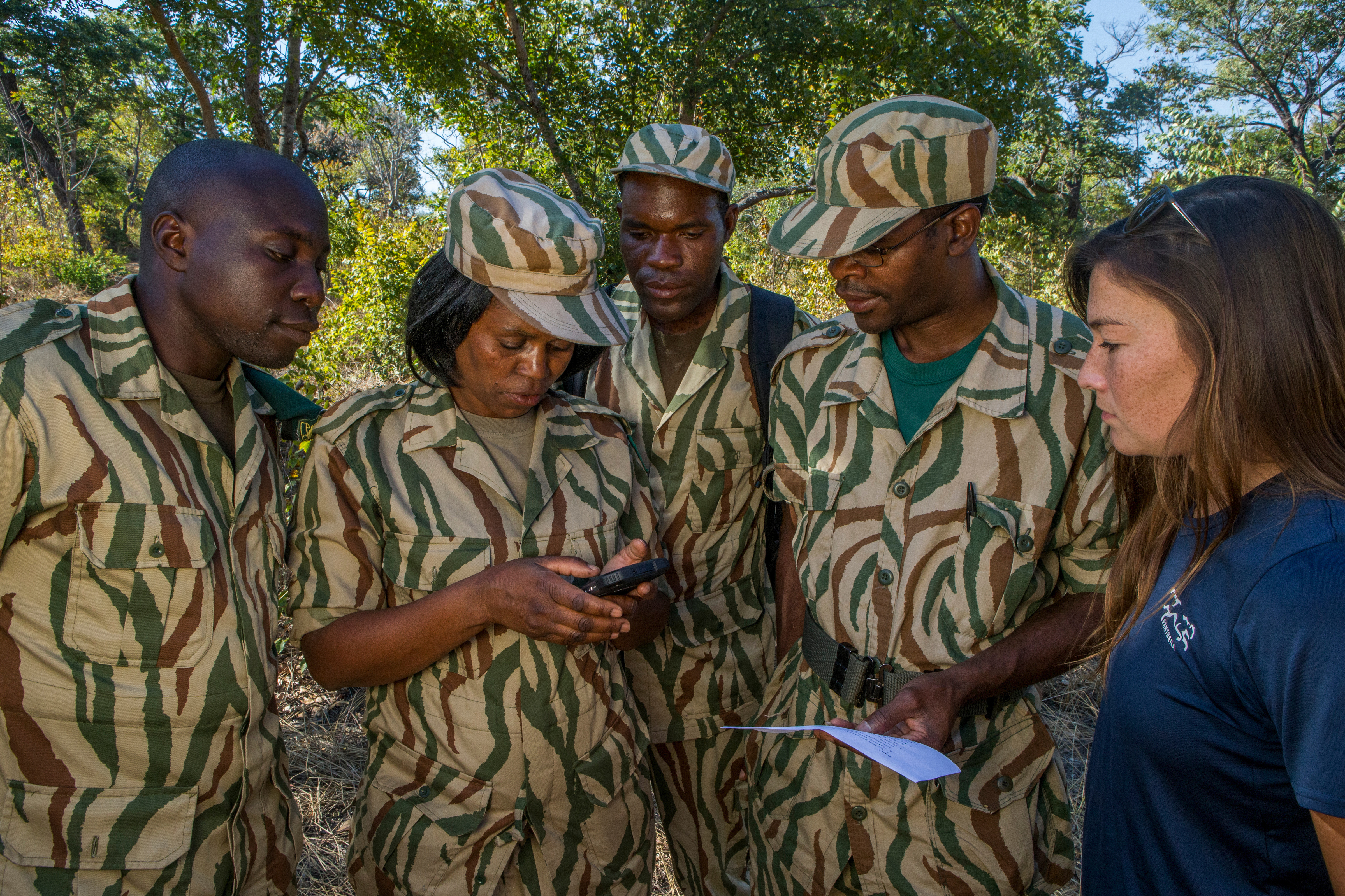
A key component of Panthera’s conservation strategy is law enforcement. In order to be effective, these law enforcement patrols need to be coordinated and monitored.
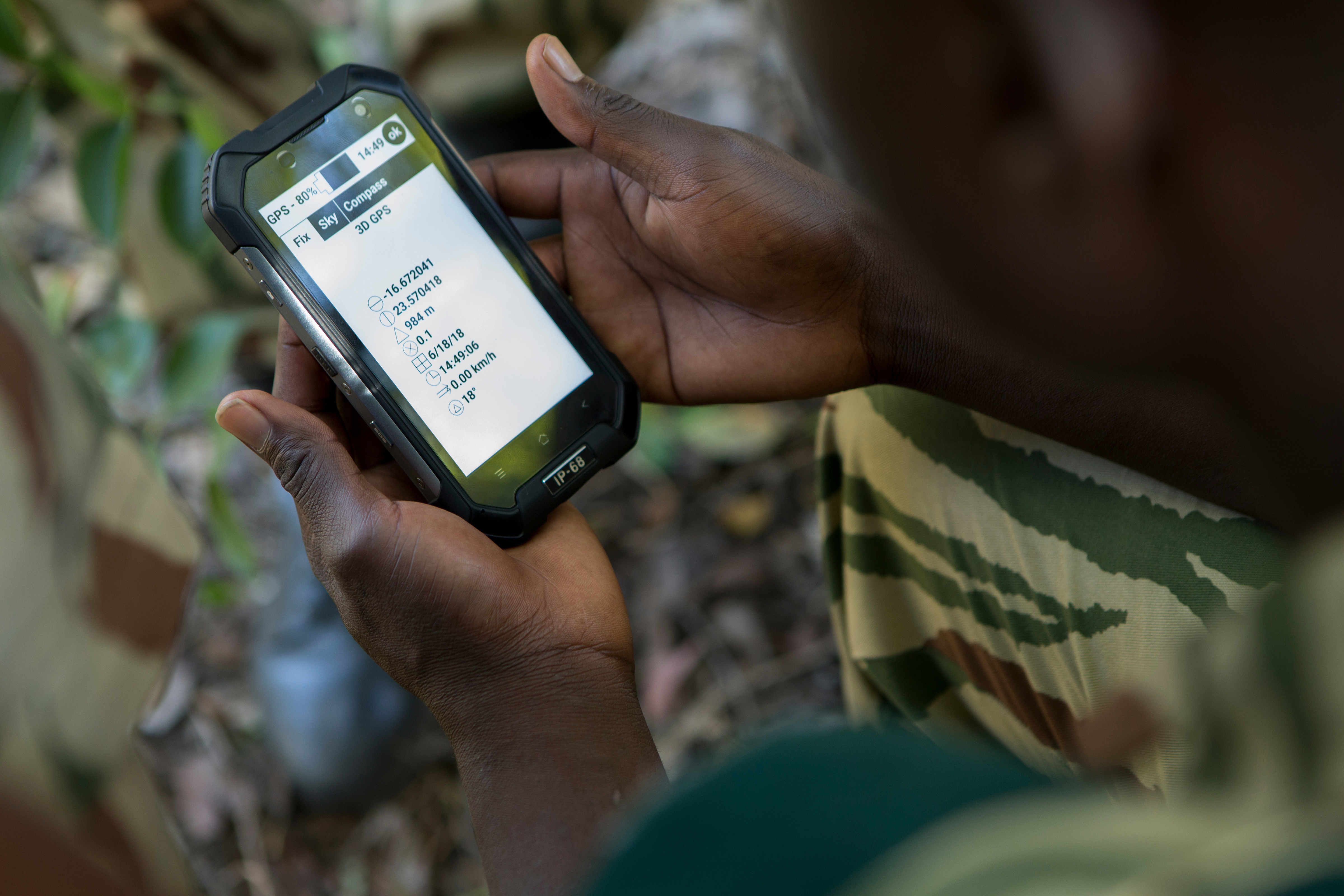
First, critical data is collected by anti-poaching teams and researchers in the field using a ruggedized mobile device with the SMART mobile app installed. This data includes:
The location of patrol efforts
Patrol outcomes (such as number of arrests, snares removed, guns confiscated)
Illegal activities (such as poaching, logging, setting snares)
Signs, behaviors and locations of key wildlife populations
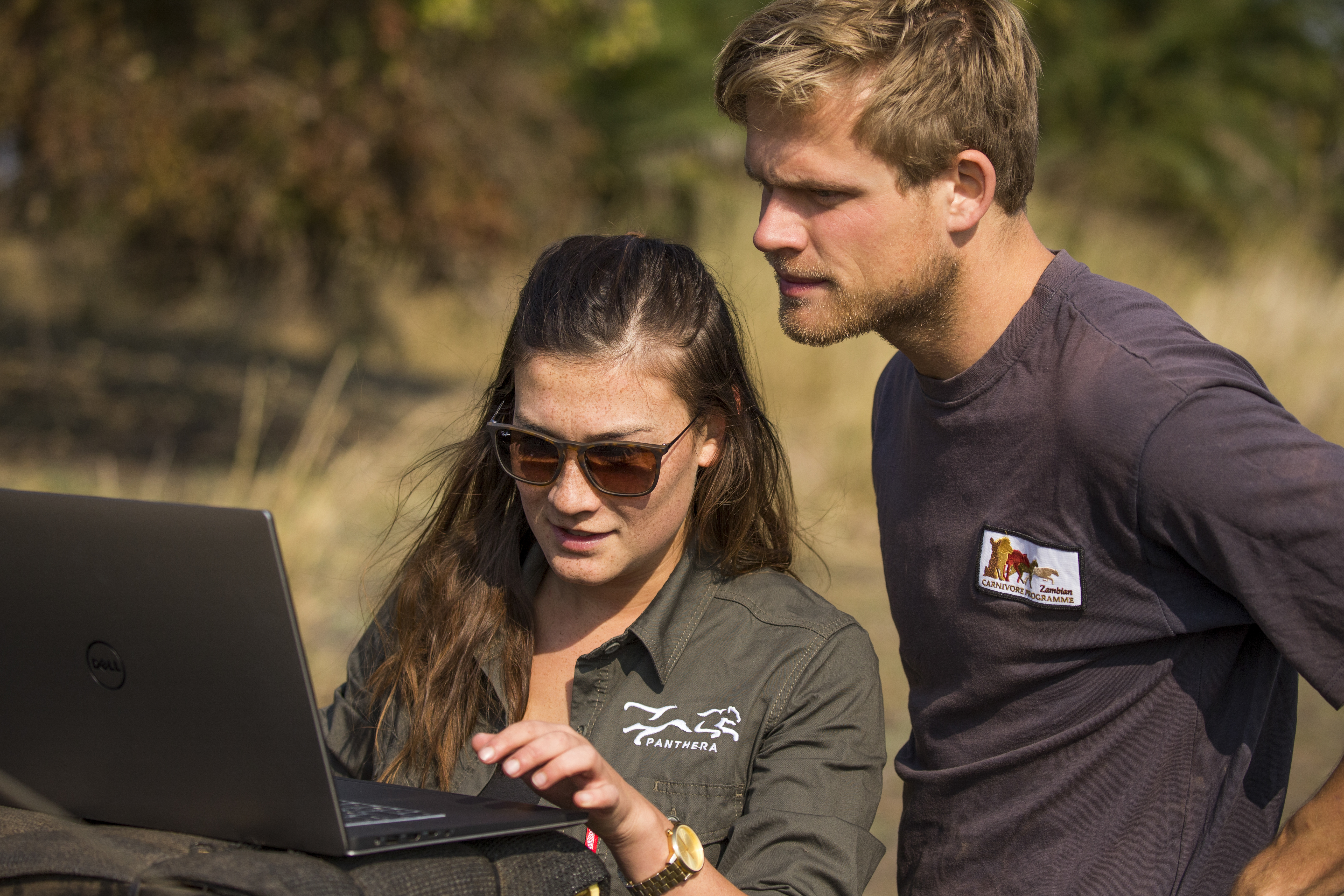
This information is uploaded to SMART, which rapidly analyses the data and produces maps, graphs and automated reports. At Panthera’s sites, SMART answers questions like:
What is the patrol coverage of law enforcement teams?
Have there been any changes in the frequency, distribution or type of poaching over time?
What is the relative performance of different ranger teams?
Where have key species been sighted?
Have there been any changes in the frequency or distribution of key species?
Have the threats to key species changed over time?
Are wildlife populations increasing or decreasing in relation to law enforcement efforts?
Along with a number of SMART consortium members and other NGOs, Panthera uses SMART data to shape law enforcement and conservation efforts in critical landscapes across Africa and Asia.
Wild about wild cats?
By joining our email list, you will receive the latest conservation updates, exciting stories from the field, our monthly newsletter, and more.