


Wild about wild cats?
By joining our email list, you will receive the latest conservation updates, exciting stories from the field, our monthly newsletter, and more.
Join Our Email ListPanthera cares about your privacy. Read our Privacy Policy.
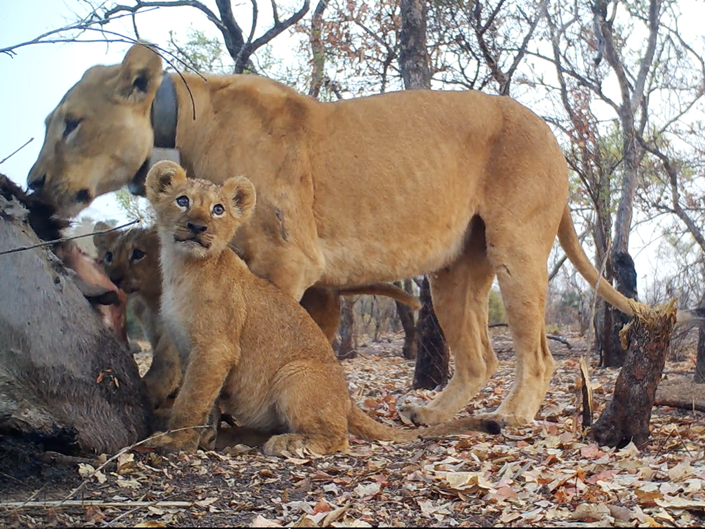
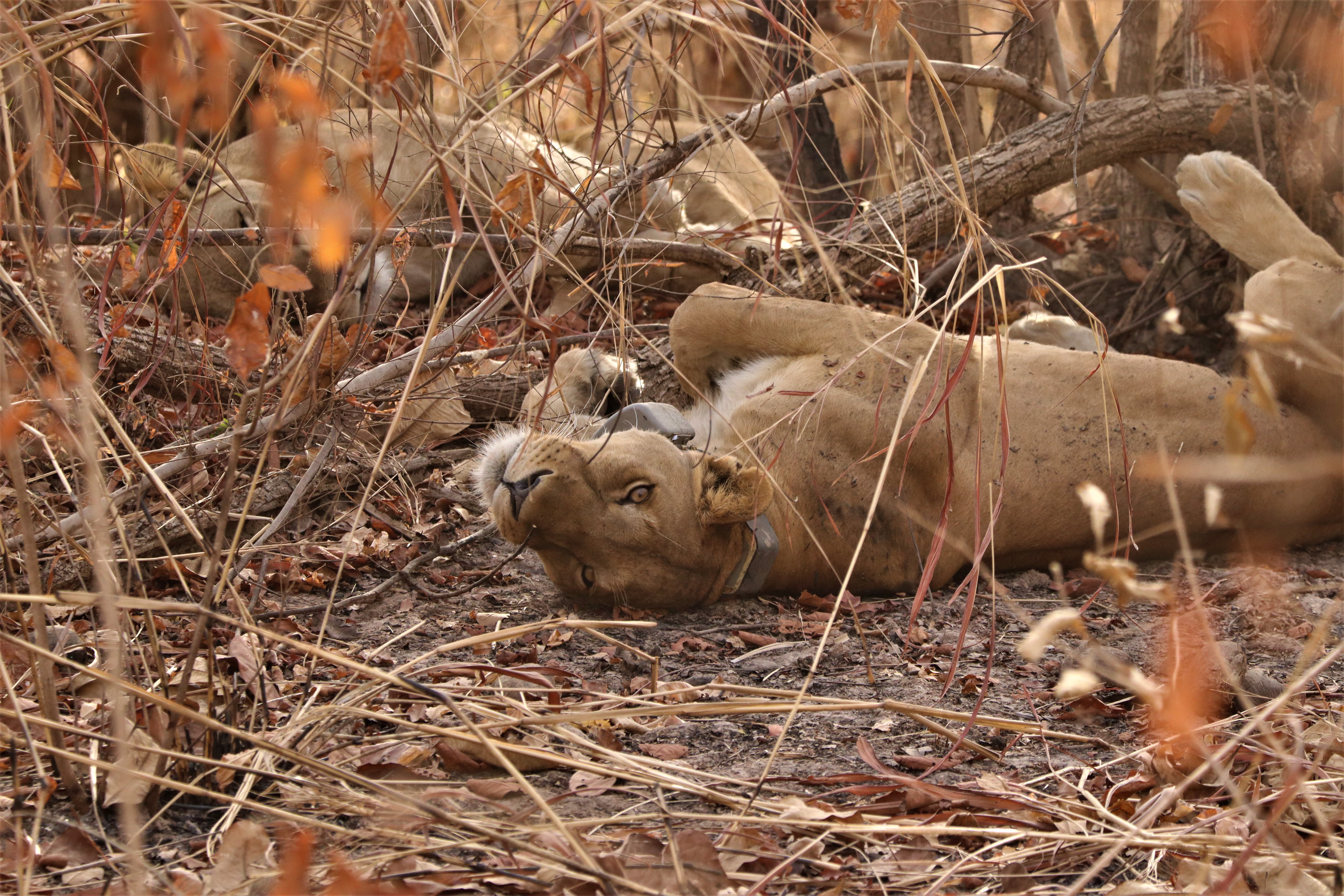
© Sebastian Kennerknecht